Spatialwork(BETA Publish)
  • Welcome
    • Platform Overview
      • What is SpatialWork
      • How it works
    • Get Started
      • System Requirements
      • Installation Guide
      • Create your First Project
  • SpatialWork Application
    • User Dashboard
    • Planner
      • 3D Layout Editor
        • Import 3D Model
        • Layout Edit
        • Hierarchy
        • Model Visibility in Viewer
        • Viewpoint Player
        • Flythrough
        • Version Manager
        • Create AR Marker
        • Immersal VPS
      • Data Visualization
        • Add Data Source
        • Create Data Visualization
        • Edit Data Visualization
        • View Data Visualization
      • Vision AI
        • System Requirement
        • Vision AI Editor (Planner Mode)
        • Viewer Mode
      • Volumetric Heatmap
        • Create and Configure
        • View Heatmap
      • SpatialWork AI
        • Adding SQL Data Source
        • Adding DB description
        • SWAI PC Mode
        • Knowledge based SWAI
      • Spatial Heatmap
      • Dynamic Object
        • Creating Dynamic Object
        • Dynamic Objects Viewer Mode
      • Replacing Gadget Icon
    • Viewer
      • Viewpoints Explained
      • Camera Interaction
      • Historical Viewer
      • Web Viewer
      • Annotations
    • Spatialwork Mobile
      • 3D Mode
      • AR Mode
      • Data Interaction
    • Data Handler
    • Enterprise Features
      • Spatial Intelligence
      • Voice Call
      • Render Streaming
  • Industry Use Case
    • Interior Design
      • Facility Layout Planning
    • Manufacturing
      • Product SOP Visualization
      • Monitor Manufacturing Data with Spatial Digital Twin
    • Logistic and SupplyChain
      • AGV Monitoring
      • Warehouse Automated Insight Management
  • How-to Guides
    • Upload 3D Models to Media Library
    • Specifying a JSON Path
    • 3D Scene Creation
      • AI generated 3D Environment from 2D Layout
      • Working with BIM file
      • Convert IFC Files to GLB Format
      • Tips to get your 3D assets works in Spatialwork
      • Working with Point Cloud Data
    • Integration
      • Integrate with Open-RMF
    • About License
  • Resources
    • Materials
      • Sample Data Sources
      • Industrial Templates
      • Assets Library
Powered by GitBook
On this page
  1. How-to Guides
  2. 3D Scene Creation

Working with Point Cloud Data

Point cloud is significant for visualizing and planning purposes. Point Cloud data is obtained through 3D scanning technologies, often by professional scanners like Leica.

PreviousTips to get your 3D assets works in SpatialworkNextIntegration

Last updated 1 year ago

How to import and edit Point Cloud Data

  1. Login to Central Platform at platform.hiverlab.com

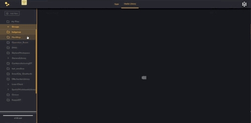
  2. Upload point cloud files to Central Platform.

  1. Invite collaborators where needed. Team member can join workgroups and contribute files to shared holders

  2. Once you have uploaded the point cloud files in Central Platform, you can open your build in SW software with the same login credentials

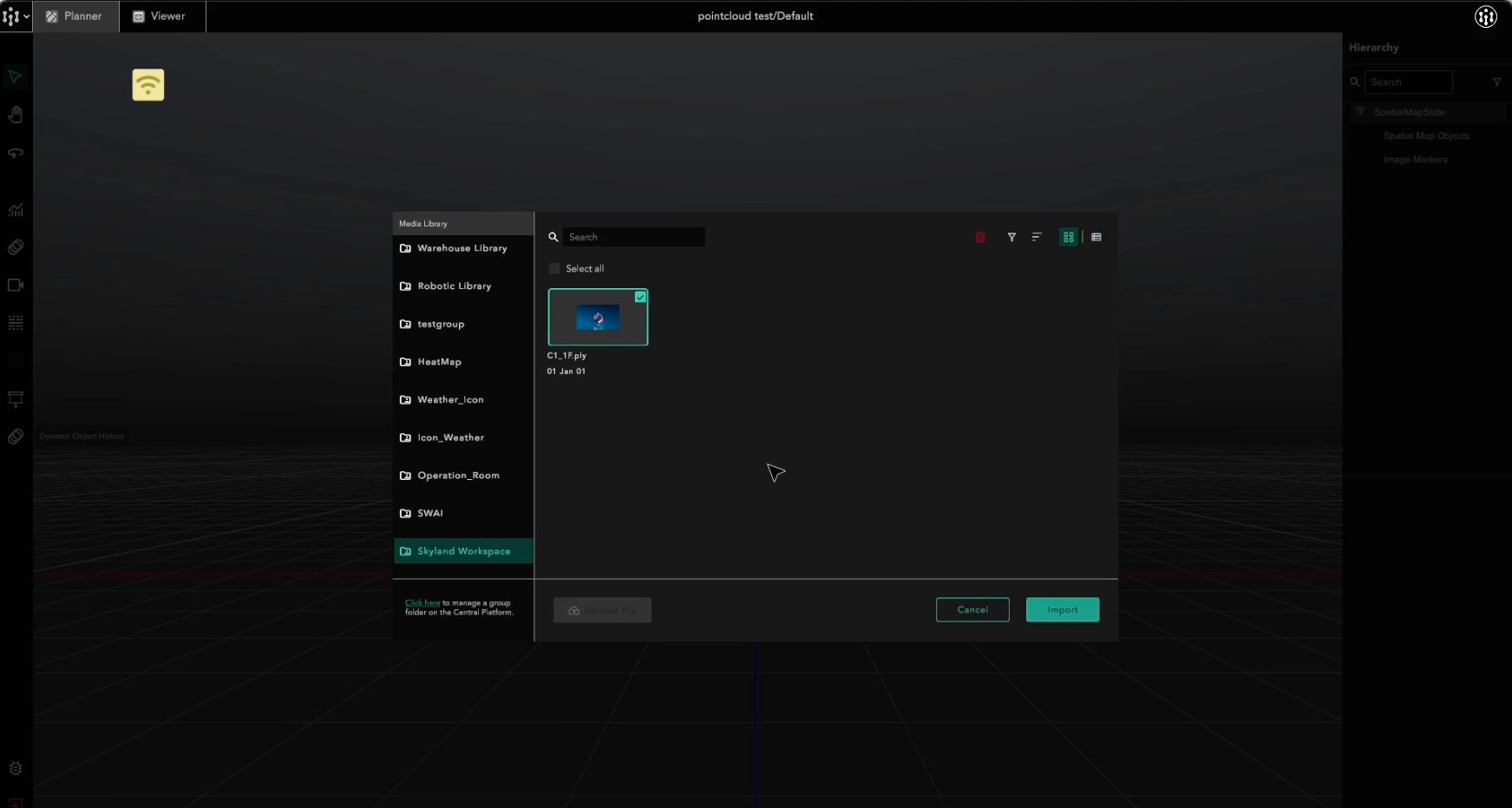
  3. Open a project. Under main menu, click File, Import File, and select the file from the media library.

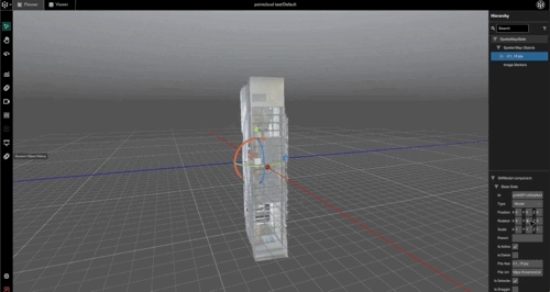
  1. Point Cloud data is now loaded into the scene. SpatialWork allows users to load and edit simultaneously. You can start editing while waiting for full file loading.

Currently, file size of point cloud is limit at 2GB. Loading performance will be based on file size and internet speed.